Drone Survey

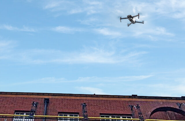
The use of drones and related technology is becoming commonplace among the surveying and mapping professionals.  Also known as unmanned aerial vehicle (UAV) surveying, it is a technique used to collect aerial data and create high resolution maps, 3D models and digital elevation models.

LRFS-Drone-montage

Benefits of Drone Surveys

Drone surveys offer a number of benefits.  They can cover large areas quickly and can access difficult to reach areas or areas of a building that may be structurally unsound, negating the need for work at heights.

This enables more efficient and accurate mapping of buildings and structures.  Drone surveying provides high quality data, allows buildings to remain operational and does not require the use of cherry pickers or scaffolding.

Contact Us

Complete the form below to tell us about your survey requirements or call us on 01606 330 888 to discuss your project with one of our team.

    Sign up to our newsletter

    Receive all the latest news and information about our project services and events.